Map of Bucks and Montgomery Counties and the Consolidated City of Philadelphia, published by Kuhn & Shrope in 1857, on file at the Library of Congress
Map of Vicinity of Philadelphia from Actual Surveys by D.J. Lake & S.N.Beers, published by Smith & Wistar, No. 15 Minor St, Philadelphia
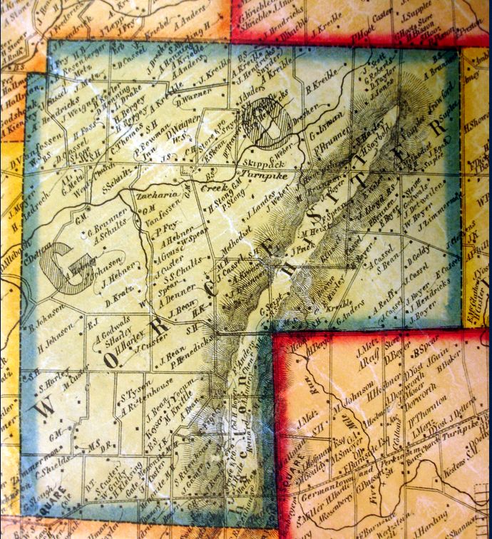
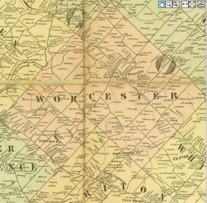
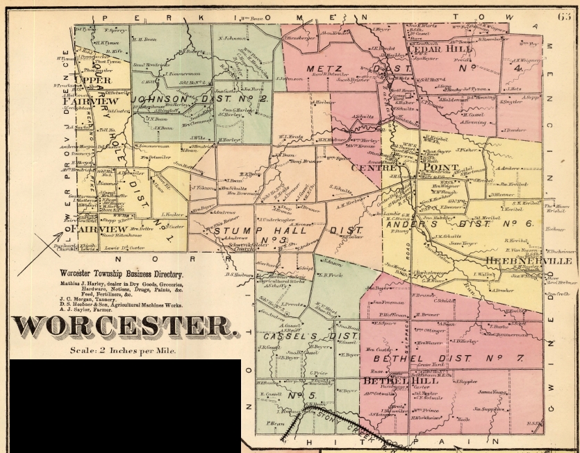
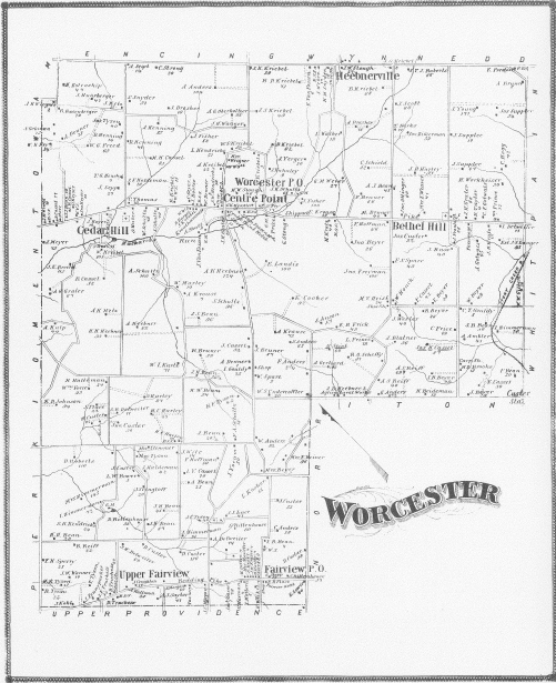
Atlas of the County of Montgomery and the State of Pennsylvania, From Actual Surveys & Official Records, compiled and published by G.M. Hopkins & Co., 320 Walnut St, Philadelphia, 1871